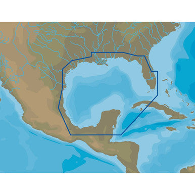
C-MAP 4D microSD for the Gulf of Mexico. Model M-NA-D064-MS. It comes with vector and raster charts, satellite imagery, high - res bathy data, tides & currents, and port info. You can view it in 2D or 3D, offering a comprehensive nautical experience in the Gulf of Mexico.

To use this C - MAP 4D microSD for the Gulf of Mexico, first insert it into your compatible device. Once inserted, turn on your device and the map should load automatically. It's great for both 2D and 3D views, so switch between them according to your preference. When using it, make sure your device has enough power. For maintenance, keep the microSD in a dry and cool place. Avoid exposing it to extreme temperatures or water. If you encounter any issues, try removing and re - inserting the card, or contact the manufacturer for support.